
News Details

New paper published in the Journal of Land Use Science
12 April 2021
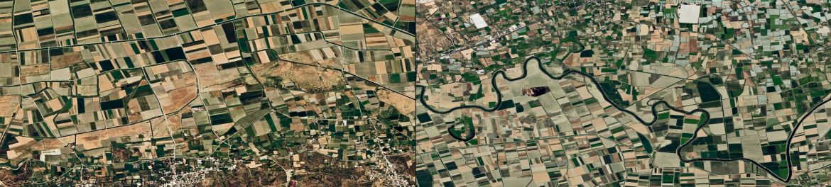
In this paper (open access), we analyzed Landsat imagery from 1990 to 2018 to quantify annual expansion of irrigated dry season cropping in Turkey's largest irrigation endeavor, the Southeastern Anatolia Project. We revealed an increase of more than 600% since 1990 to almost 6,000 km² of irrigated irrigated dry season crops in 2018. The maps can support assessments of water consumption and environmental degradation, and are available at https://doi.org/10.5281/zenodo.4287661.